Trail Maps & Story Map
Explore overview maps of the primary 938-mile Seward-to-Nome corridor, its 1,500+ miles of connecting trails, and the interactive 1920 diary of Arne Erickson's 350-mile walk from Flat to Anchorage.
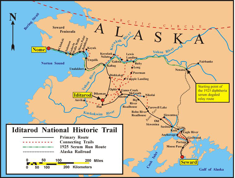
Iditarod National Historic Trail System Map
Full corridor illustration showing the primary route from Seward through Knik, Rainy Pass, Takotna, Iditarod, Kaltag, Unalakleet, and Nome, along with connecting gold-rush trails.
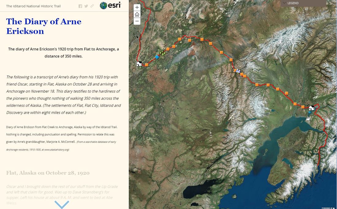
1920 Diary of Arne Erickson: Flat to Anchorage
Follow Arne Erickson and his friend Oscar on their 350-mile trek on foot from Flat, Alaska (October 28, 1920) to Anchorage (November 18, 1920), complete with diary transcripts and historic photographs.
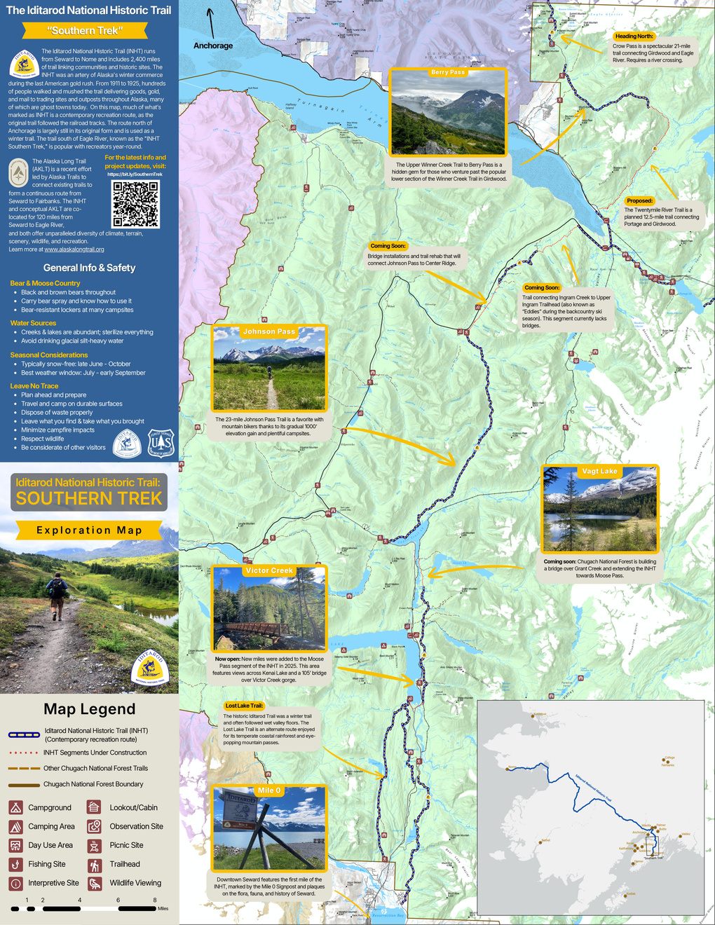
INHT Southern Trek Exploration Map
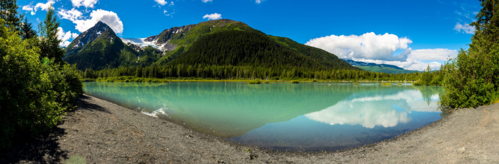
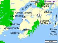
Explore the 120-mile Southern Trek corridor from Seward to Eagle River (including Mile 0, Lost Lake, Victor Creek, Johnson Pass, Vagt Lake, Berry Pass, and Crow Pass), or download the full 24-page INHT Visitor Guide.
Embedded Interactive Experience
Arne Erickson's 1920 Trail Diary (Flat to Anchorage)
If the third-party ArcGIS embed below does not load in your browser or screen reader, you can open the Story Map directly on ArcGIS Online ↗ or read our full text Historic Overview.